



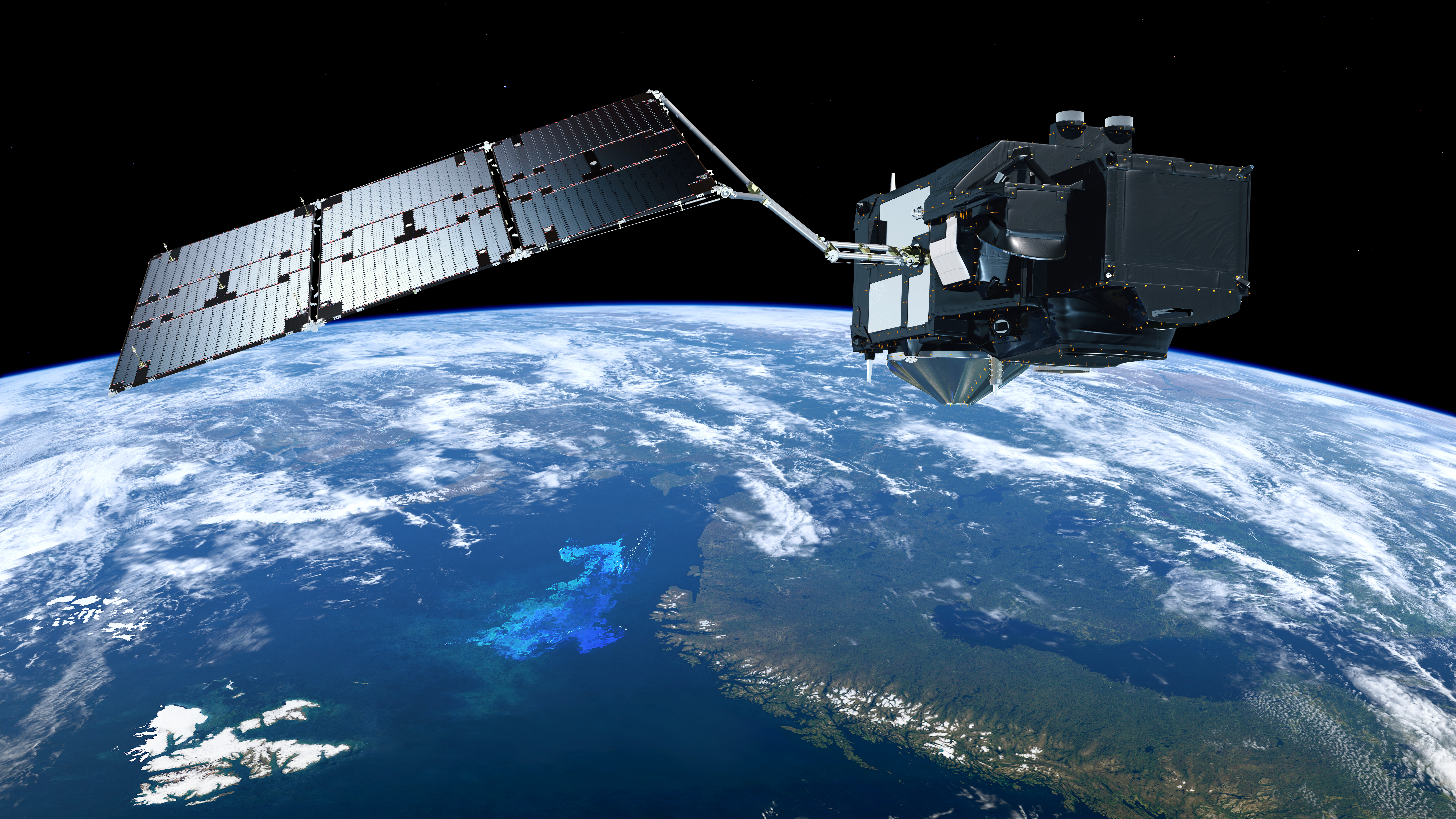
Sentinel-3C has successfully launched on 15 September as the third satellite in the Copernicus Sentinel-3 series, on the same launcher as the Flex Earth Explorer.
Copernicus is the European Union's Earth observation programme, owned, managed and funded by the European Commission. It provides free and reliable data to support citizens, businesses, researchers and public authorities in monitoring the health of our planet by observing oceans, land, ice and the atmosphere from space.
Sentinel-3C is designed and developed by ESA on behalf of the European Commission, with Thales Alenia Space as prime contractor. Leonardo, which holds a 33% stake in Thales Alenia Space, contributes key technology to the mission, including the SLSTR instrument developed at its Campi Bisenzio (Florence) site. EUMETSAT will operate the satellite following the Launch and Early Orbit Phase (LEOP) and commissioning period.
Advanced Earth Observation
Among the instruments Sentinel-3C carries into orbit is the SLSTR (Sea and Land Surface Temperature Radiometer), which will measure sea and land surface temperature with a precision of up to one-tenth of a degree. The satellite is flying in tandem with FLEX, spaced roughly ten seconds apart, so their data can be combined to improve the accuracy of vegetation health measurements — FLEX also carries a Leonardo-built instrument, the FLORIS spectrometer.
The two Sentinel-3A and -3B satellites operate in a near-polar, sun-synchronous orbit at an altitude of 815 kilometres. Sentinel-3C joins them in this orbit, carrying a sophisticated suite of instruments to measure systematically Earth's oceans, land, ice and atmosphere, providing essential information in near-real time for ocean and weather forecasting.
The satellite's optical payload combines complementary capabilities. The Ocean and Land Colour Instrument (OLCI) measures Earth's surface reflectance across 21 spectral bands at 300-metre resolution, supporting ocean colour monitoring, vegetation analysis, and environmental assessment. The Sea and Land Surface Temperature Radiometer (SLSTR) provides daily, high-precision temperature measurements across land and ocean surfaces.
Precision Temperature Measurement
The SLSTR is a high-precision radiometric sensor onboard ESA's Sentinel-3 satellites within the European Commission's Copernicus programme. It delivers highly accurate measurements of sea and land surface temperatures, supporting climate monitoring, environmental analysis, and ocean forecasting. Designed to operate across diverse environments—from oceans to deserts—SLSTR combines infrared and optical channels with a dual-view capability, ensuring global accuracy and data consistency. Two of its channels are specifically optimised to detect and monitor wildfires from space, a capability particularly valuable in remote or sparsely populated forest areas where ground-based detection is difficult and costly. SLSTR also enables the detection of other extreme events such as hurricanes and thermal anomalies, while supporting commercial applications.
Thales Alenia Space (67% Thales, 33% Leonardo) is the satellite's prime contractor, while Telespazio (67% Leonardo, 33% Thales) supports data processing and access through advanced cloud-based solutions.
Launch and Early Orbit Phase
During LEOP, Telespazio Germany colleagues, together with other partners and customers, are contributing specialised expertise to support the successful deployment of Sentinel-3C. Our teams are providing Software Coordination, Flight Control Team, Administrative and Management Services, Mission Control Team simulator support, and backup coordination functions to ensure mission success.
The COP2 Data Systems team has made significant contributions to the Sentinel-3 and Sentinel-3C missions over several years of preparation and development. Their expertise continues to support operational excellence and mission success.
Continuous Operations
Telespazio Germany provides the Spacecraft Operations Engineering service to EUMETSAT, which operates the Copernicus Sentinel-3 space segment following LEOP and Commissioning managed by ESA/ESOC. Our flight control team for Copernicus, together with partners and customers, is planning activities and strategies to keep the mission ongoing, minimising outages, scheduling maintenance, and ensuring the spacecraft and instruments remain healthy and calibrated to continue generating data for users.
We also monitor and ensure the quality of the instrument data through the ground segment at EUMETSAT, maintaining the integrity and reliability of Copernicus data.