


Payload Data Ground Segment
With decades of experience in payload planning, operations, and data processing for clients such as ESA, EUMETSAT and DLR, Telespazio Germany is one of the most innovative and trusted companies in payload operations.
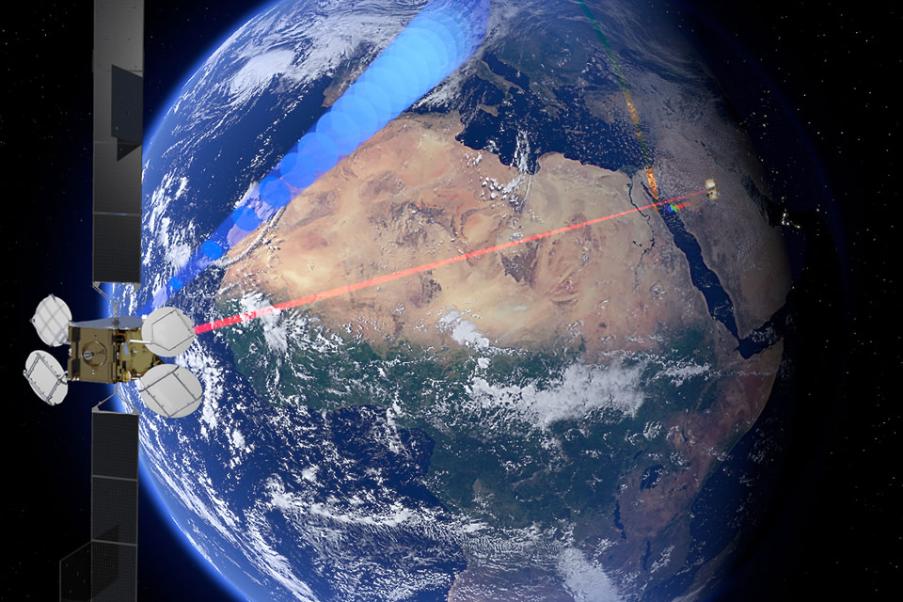
Payload Data Processing
Our multidisciplinary team of remote sensing experts and versatile software engineers has a long track record of developing and maintaining operational satellite data processing systems – in particular, for Earth Observation missions. Our team’s proven capabilities range from developing and maintaining overall Payload Data Ground Segment systems to scientific remote sensing and data processing applications.
We provide a broad range of services including prototyping, development and maintenance of scientific remote sensing applications for various types of sensors (multispectral imagers, spectrometers, altimeters, SAR) in different mission scenarios (GEO, LEO). In our daily work, we utilise state-of-the-art development tools, languages, libraries, and methodologies. Recent developments have increasingly focused on a multi-mission approach with a high level of virtualisation and standardisation to reduce development time (and costs) while improving maintainability.
Our experienced engineers provide development and maintenance services to ensure that PDGS consistently delivers high-quality data products systematically to the user community in a timely manner.
Payload Operations
Telespazio Germany facilitates payload operations for both manned and unmanned missions through a range of in-house developed tools and software suites for efficient operations. We provide full support in the development of mission operation concepts, payload planning, procedure development and validation, and automatic testing of experiments using simulators.
Our comprehensive services encompass all mission phases, from planning and validation to operations software suites and operations execution. Our operating software suites include spacecraft monitoring tools, automated command sequences, and operational support tools such as console logs and anomaly tracking tools. Additionally, our experienced operations teams execute round-the-clock services, conduct in-house payload operations, and provide payload performance analysis.